Skip to content
At IACP Tech Conference in Indianapolis May 5 to 7th. Contact.Us@RescueGIS.com
Close menu
Home
Sites/Campus
Smart Cities
Law Enforcement
911 Emergency Communications
Emergency Management
Trafficking Prevention and At-Risk Care
Indoor IoT
Products
Contact
Log in
Cart
Close cart
Your cart is currently empty.
Home
Sites/Campus
Smart Cities
Law Enforcement
911 Emergency Communications
Emergency Management
Trafficking Prevention and At-Risk Care
Indoor IoT
Products
Contact
Log in
Search
Site navigation
Cart
Search
Search
Law Enforcement and Policing
Filter
How It Works
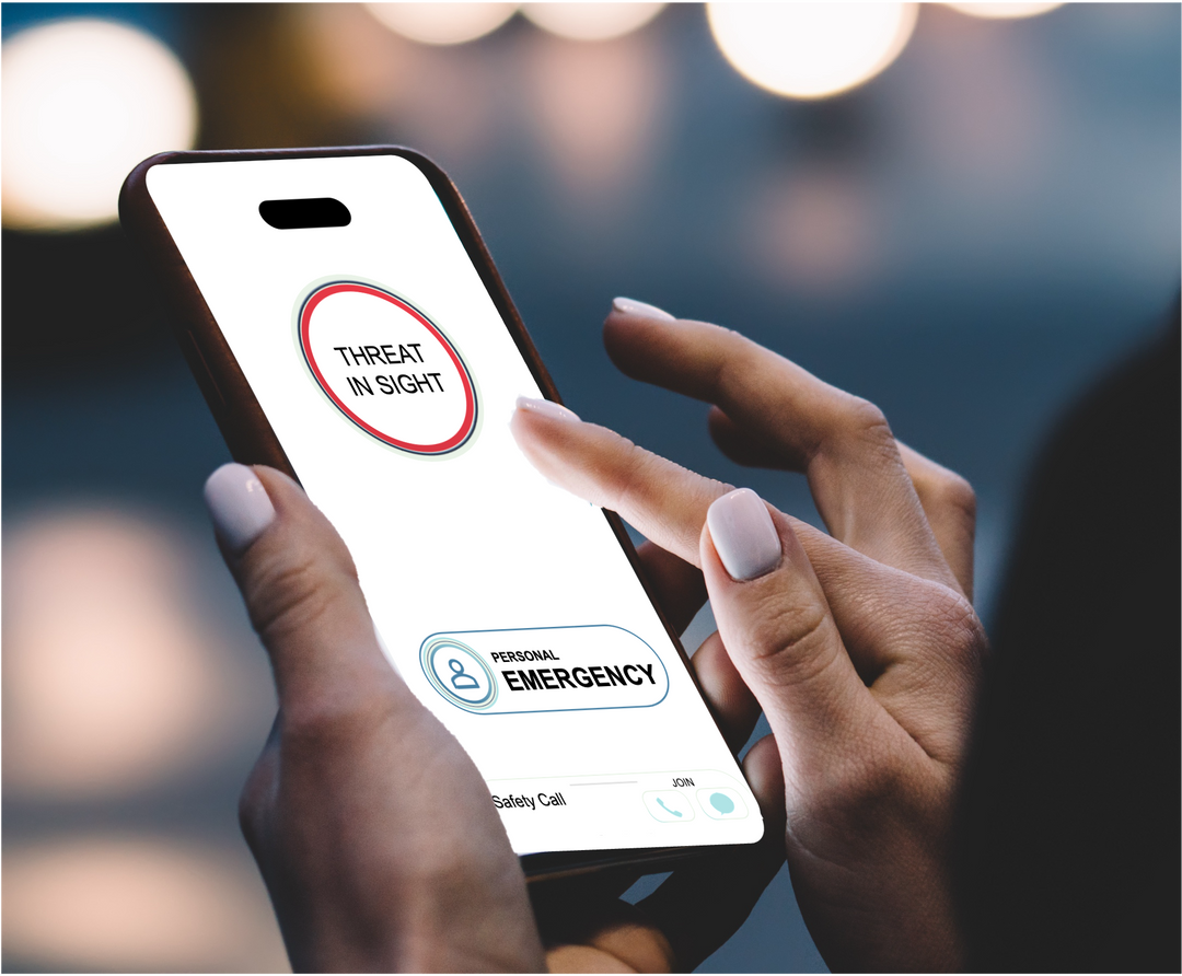
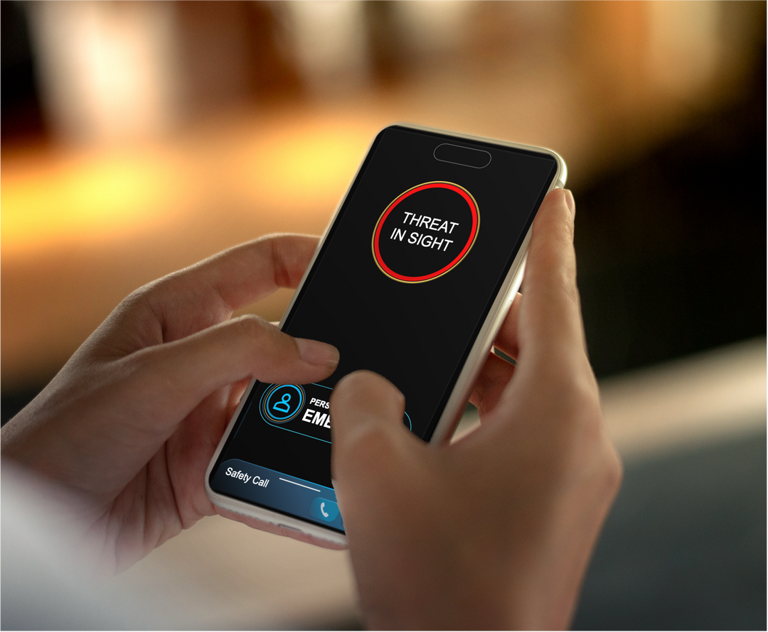
Very Early and Automated Alerts
Personal Lifeline of Responders
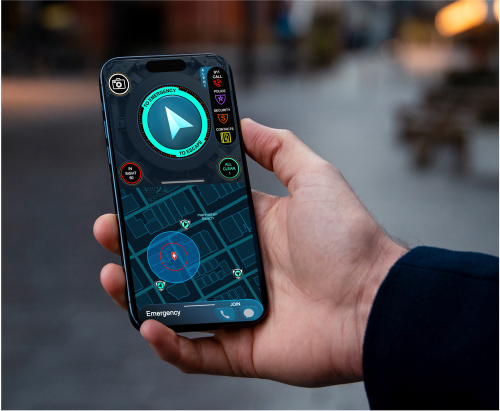
How It Works Story Map
Nearest Responders Engage in Seconds
Subscriptions
Individual Annual Membership... Plus 9 Memberships for Family and Friends
$36.00
Private Security Membership... for Family and Private Security Personnel, up to 150 devices
$5,400.00
"Close (esc)"
Law Enforcement and Policing