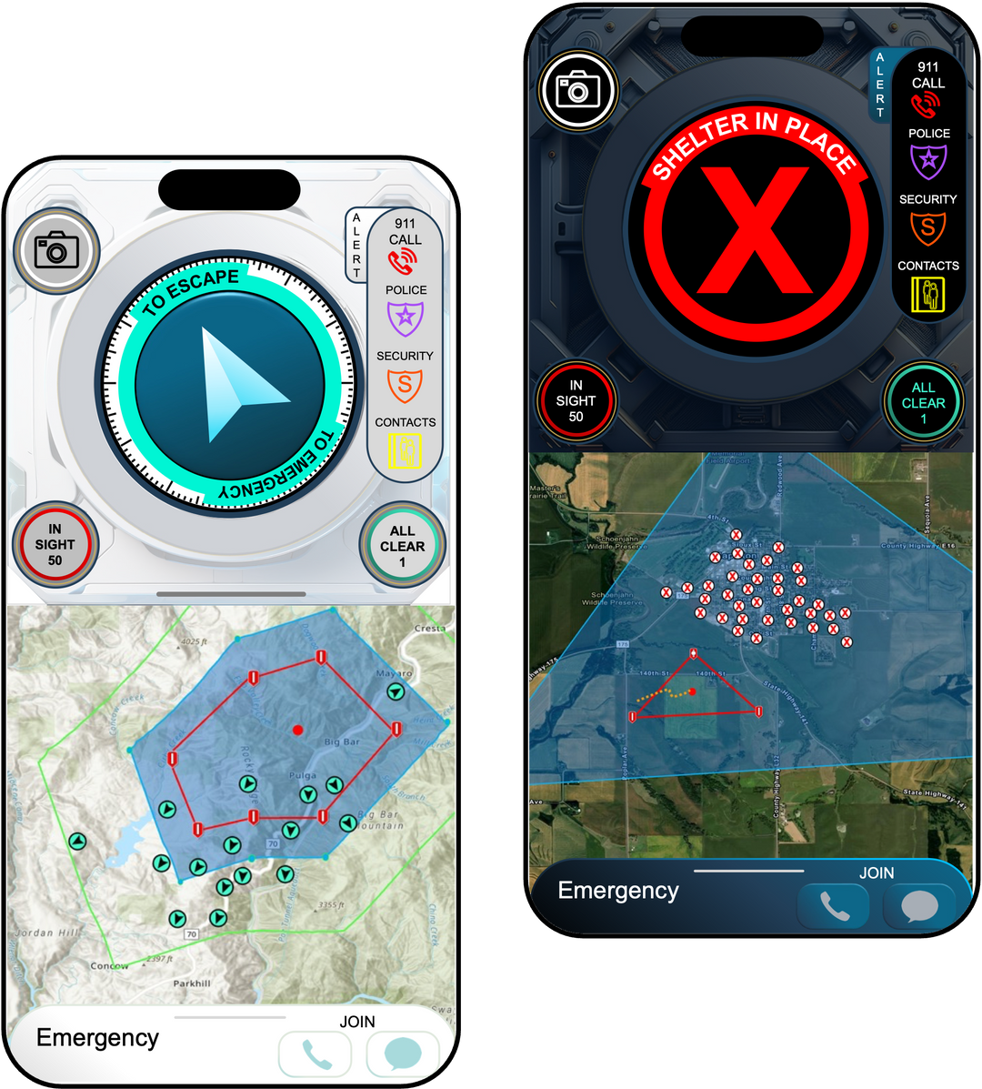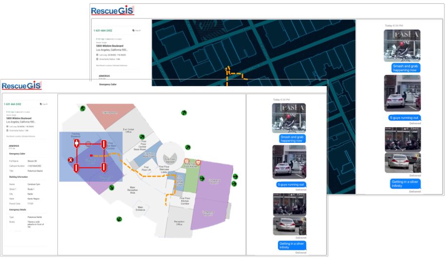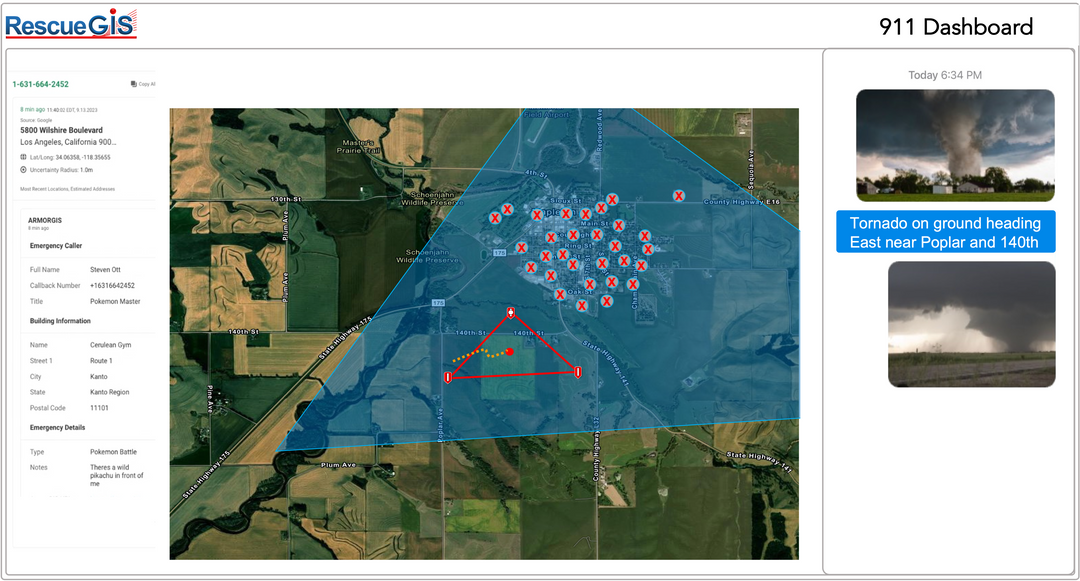

EMERGENCY AND DISASTER MANAGEMENT
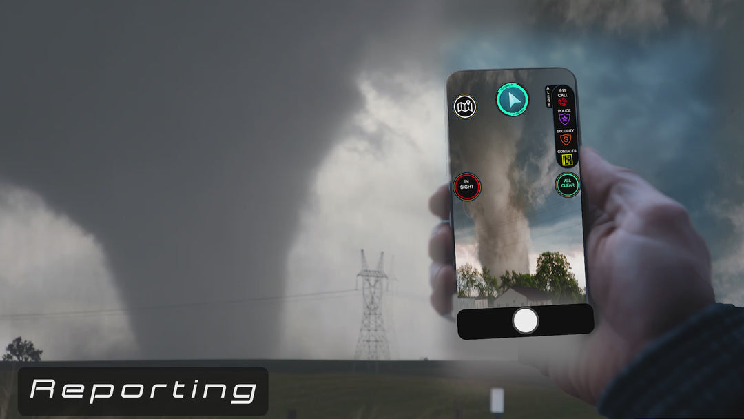
REPORTING MANAGEMENT AND GUIDED EVACUATION
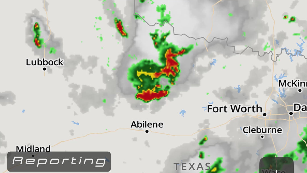
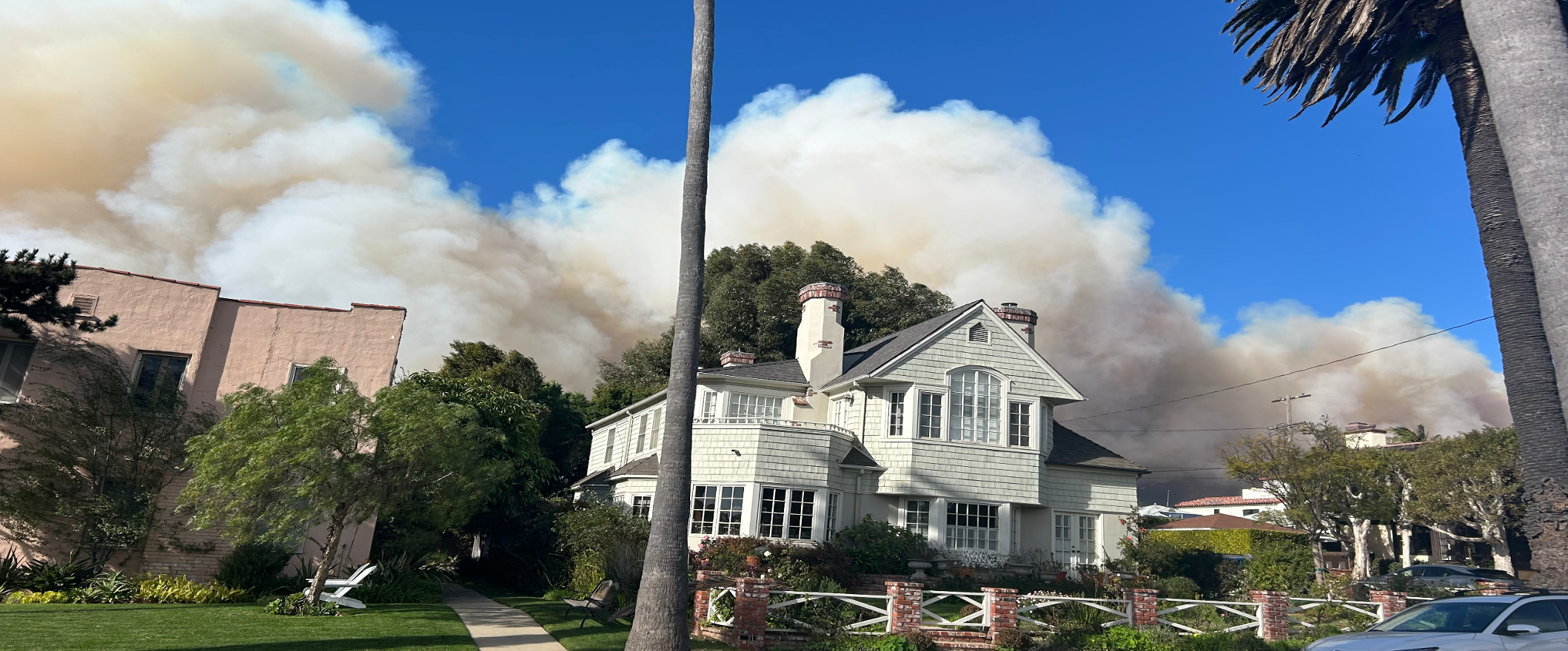
Wild Fire, Bomb Threat, Tornado, Flash Flood, Tsunami
Emergency Managers define areas and send simplistic and actionable instructions so lives can be saved.
Evacuate or shelter-in-place alerts directly to the palm of our hands.
Arrow escape directions or X shelter guidance in real-time.